What We Offer
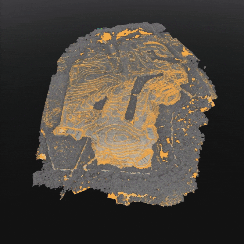
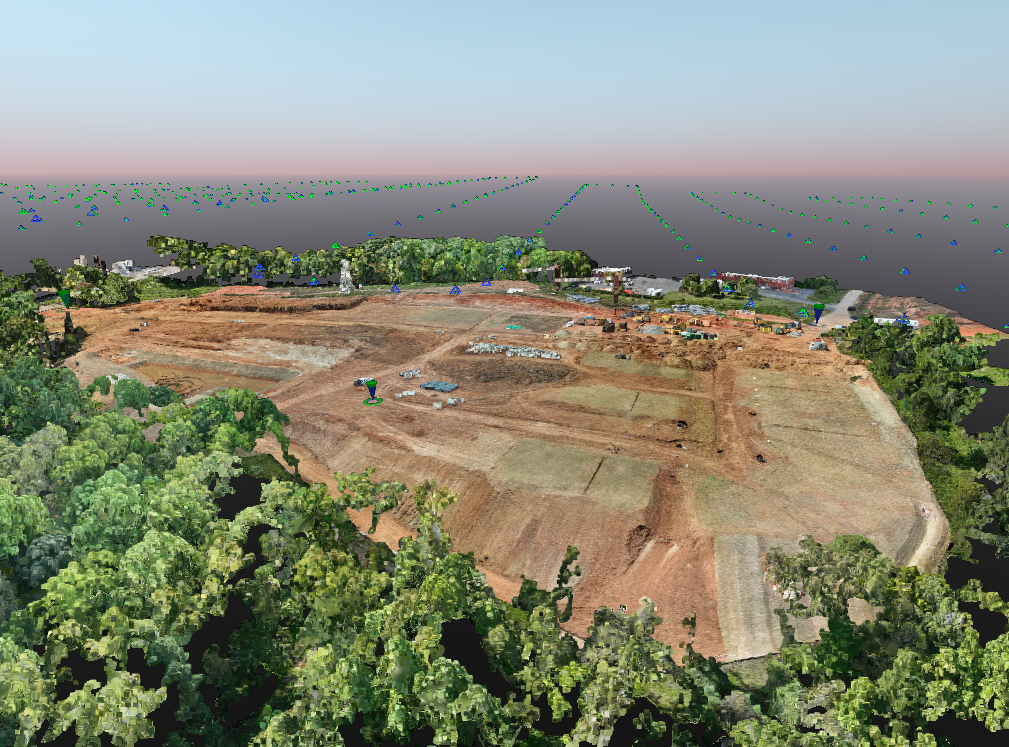
Drones aren’t just for cool photos — they’re tools for precision. CapCon’s aerial services combine construction-grade experience with advanced photogrammetry, giving you the data you need to make confident decisions in the field and the office.
Whether you need volumetric calculations, stockpile measurements, site progress documentation, or marketing footage, our team captures every angle with accuracy and efficiency.
Services include:
Topographic mapping & orthomosaic imagery
Cut/fill & volumetric analysis
Progress & compliance reporting
Drone inspections (grading, erosion, utilities, ponds)
High-resolution photo/video for marketing and documentation