
Mapping & Surveying Services
Construction-grade aerial mapping, progress documentation, and site intelligence designed to help teams make faster, more confident decisions from the field to the office.
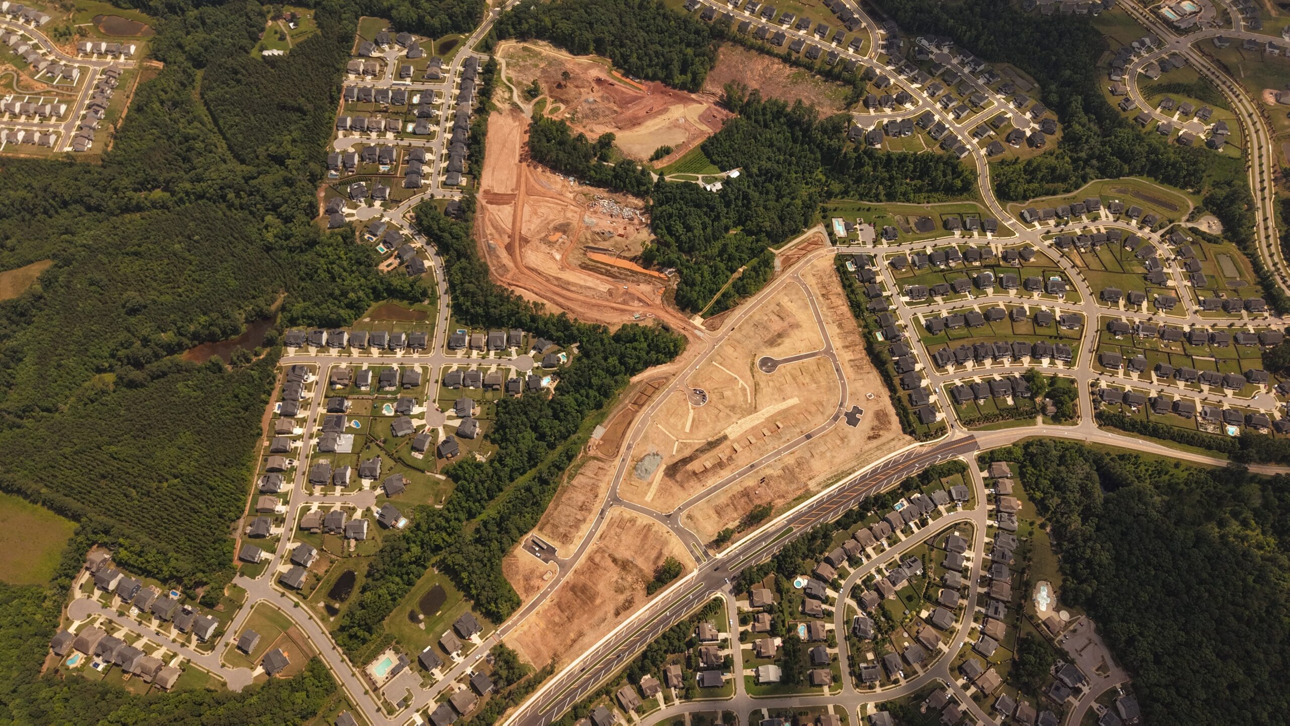
CapCon combines FAA-certified drone operations with real construction experience, RTK-assisted flight planning, and Pix4D processing workflows to deliver accurate visuals, measurable data, and clear project documentation.
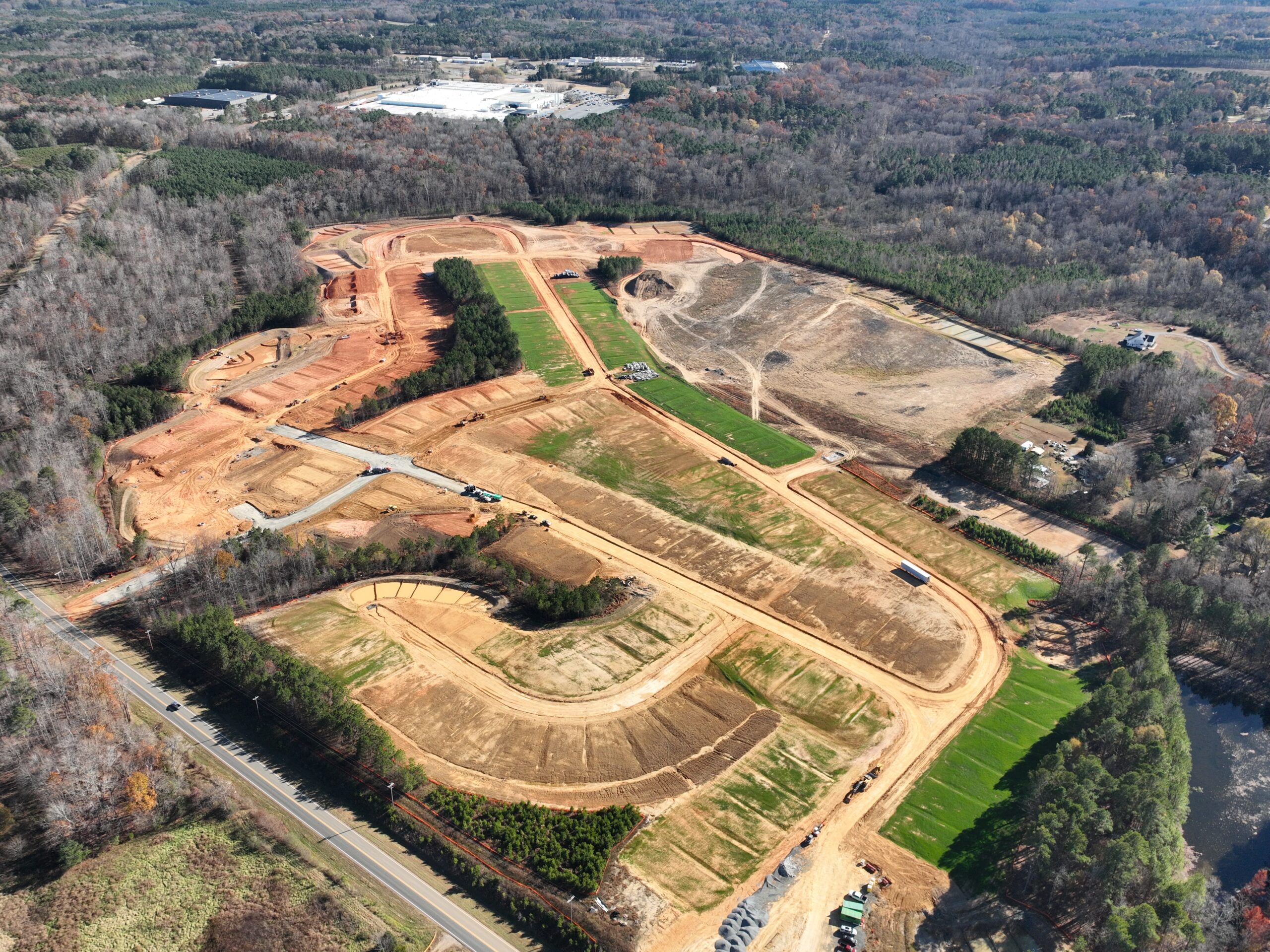
Topographic Mapping
High-resolution orthomosaic imagery and aerial mapping to support planning, coordination, and field review.
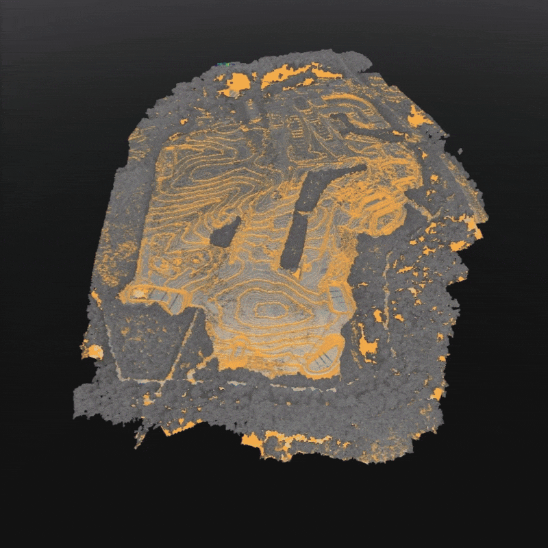
Cut/Fill & Volumes
Stockpile measurements, volume reports, and cut/fill summaries that help track earthwork progress and site quantities.
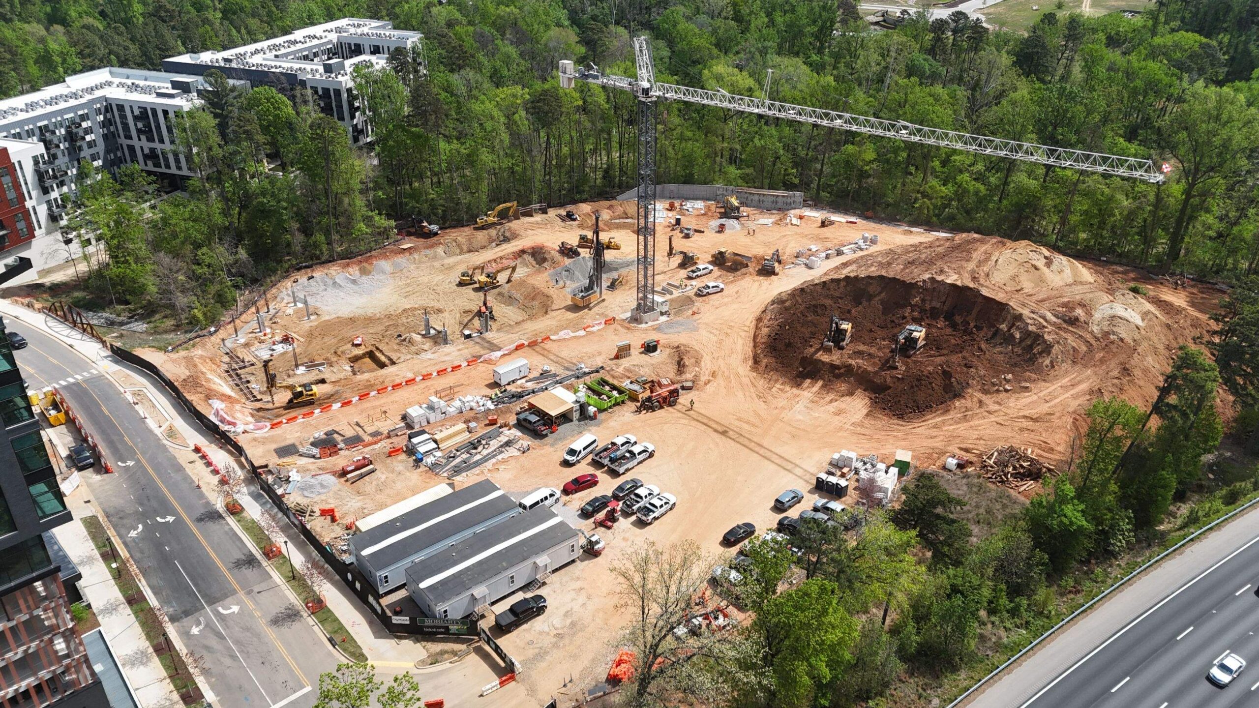
Progress Documentation
Routine aerial captures for progress updates, compliance tracking, owner reports, and internal project records.
What We Offer
Drones are more than a photo tool — they are a precision resource for active construction sites. CapCon’s aerial services combine construction knowledge with advanced photogrammetry to give your team data that is useful, measurable, and easy to share.
Whether you need topographic mapping, stockpile measurements, progress documentation, inspection views, or site visuals for reporting, our aerial team captures every angle with accuracy and efficiency.
Services Include
- Topographic mapping and orthomosaic imagery
- Cut/fill and volumetric analysis
- Stockpile measurements and quantity tracking
- Progress and compliance reporting
- Drone inspections for grading, erosion, utilities, and ponds
- High-resolution photo and video documentation
Construction-Ready Accuracy
We fly the same way we build — with precision in every phase. Each mission is planned in-house and processed through professional photogrammetry workflows for clean, reliable deliverables.
RTK-Assisted Capture
Drone platforms equipped for high-accuracy data collection and ground-control validation.
High-Resolution Outputs
Orthomosaics, surface models, contours, and documentation imagery built for project review.
Software Compatibility
Exports compatible with AGTEK, AutoCAD, Civil 3D, engineers, surveyors, and internal project teams.
FAA Certified & Insured
Flights are planned, logged, and completed under FAA Part 107 and CapCon jobsite safety protocols.
The Process
Plan
We review site needs, project plans, access, airspace, and schedule expectations before flight.
Capture
RTK-assisted flight missions collect aerial data safely and efficiently around active site operations.
Process
Data is processed through Pix4D workflows for mapping, models, volume reports, and usable exports.
Deliver
Results are shared through organized files or secure links so your team can review, measure, and act.
Orthomosaic Maps
High-resolution site maps for review, documentation, and coordination.
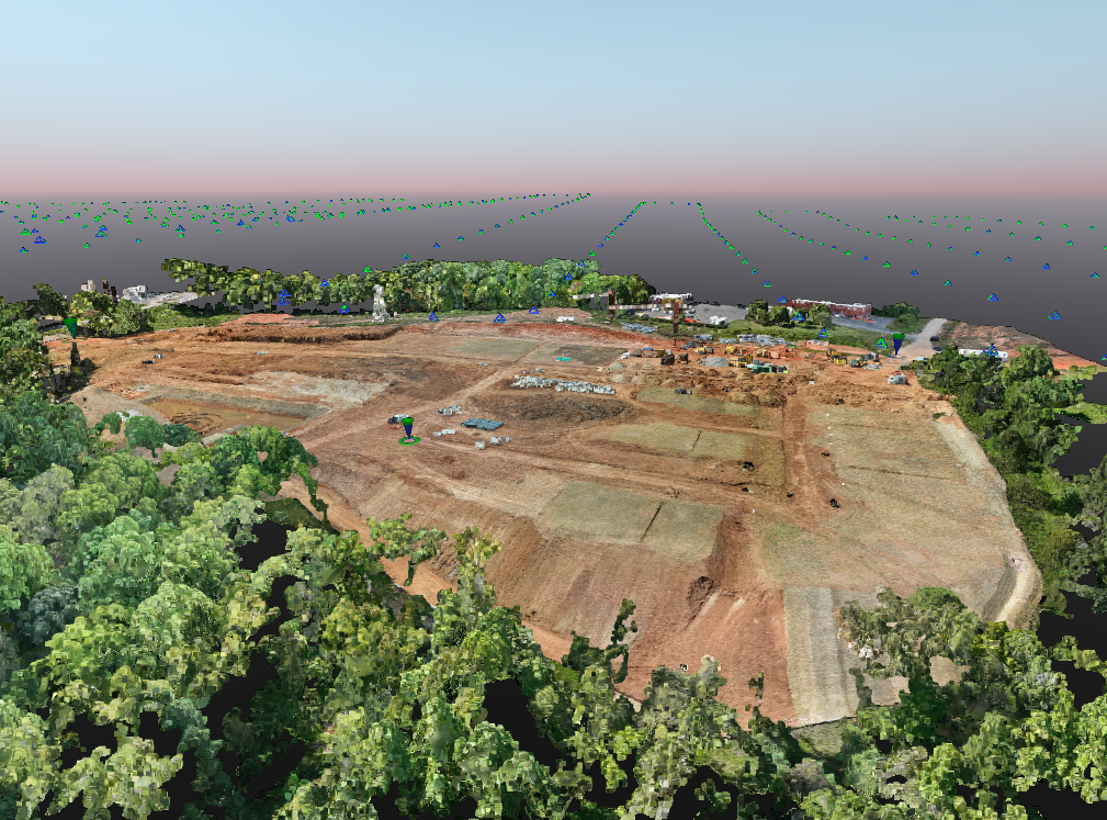
3D Models
Surface models, meshes, and visual references for project teams.
Volume Reports
Cut/fill, stockpile, and quantity-focused reporting when needed.
Deliverables
- Orthomosaic maps: georeferenced TIFF, JPEG, or PDF
- 3D models and surface meshes: LAS, OBJ, or DXF
- Volume reports and cut/fill summaries
- Progress photo packs and site documentation clips
- Metadata and export compatibility for project teams
Why CapCon Aerial?
- We understand construction, grading, utilities, erosion control, and active jobsite conditions
- We bridge the gap between survey data and real-world site progress
- Routine flights help document progress and catch issues earlier
- Our aerial visuals support owners, inspectors, engineers, PMs, and marketing teams
Safety & Compliance
Safety drives every phase of our aerial operations. Each mission is pre-planned, risk-assessed, and logged with FAA Part 107 compliance, jobsite awareness, and insurance coverage in place.
Ready to map, measure, or document your next project?
CapCon can help capture accurate aerial data and project visuals within your scheduling needs.
Request Mapping Services